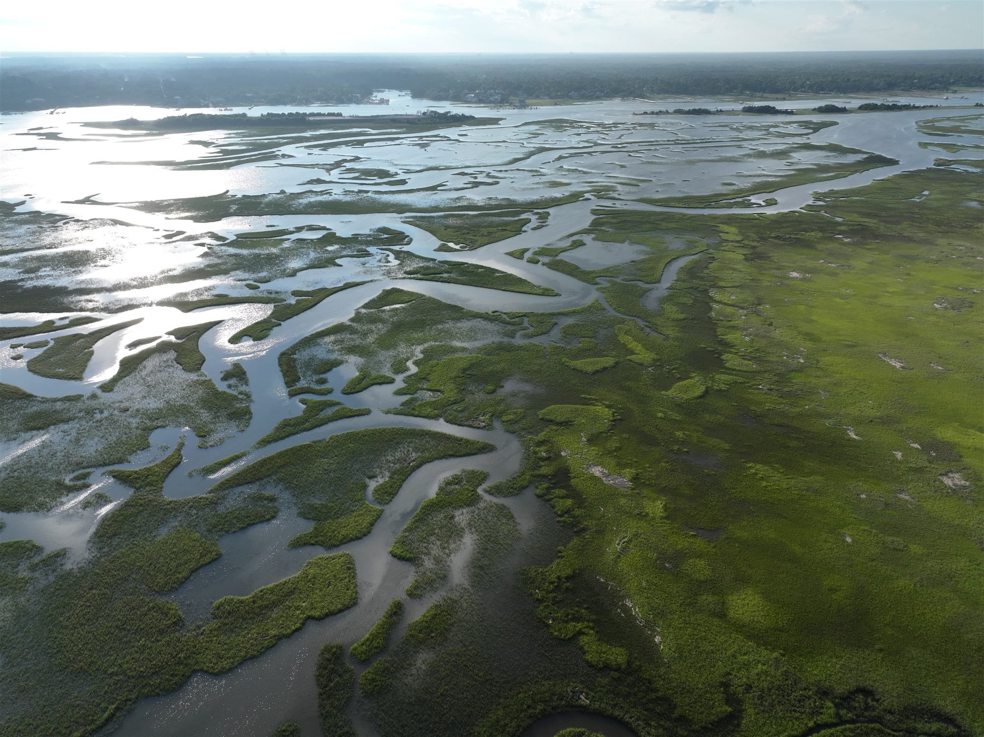
Aerial view of the salt marsh behind Masonboro Island, tidal creeks catching the evening light
Science

Watch it change.

Masonboro is a research reserve and a barrier island on the move. Here's what the water is doing, where the sand goes, who's measuring it, and how to add your own observations.

King tides ahead

The highest tides of the year, on the calendar.

King tides come when a new or full moon lines up with the moon's closest pass to Earth. They're predictable months out, which makes them a preview of everyday high water as the sea keeps rising.

Loading NOAA tide predictions…

Predicted king tide peaks, next 12 months

Each dot is one stretch of king tides at Wrightsville Beach, at its highest predicted high (feet above MLLW). Dashed line: our 5.0 ft king tide mark.

King tide peak5.0 ft mark

Show as a table
DatesPeakPeak timeHighs over 5 ft

Predictions: NOAA station 8658163, Wrightsville Beach. Astronomical tides only: wind, rain and storms can push water higher than predicted. The 5.0 ft mark is our rule of thumb for this station, not an official threshold. When NWS issues a Coastal Flood Advisory, that's the official word.

Sea level

The water is higher than it used to be.

NOAA's tide gauge in Wilmington has measured the water since 1935, the longest record near Masonboro. Here's what it shows.

— Loading NOAA's sea level record…

Average sea level by year, Wilmington, NC

Inches above or below the gauge's mean sea level. Hover or tap for each year.

Yearly averageNOAA trend line

Show decade averages
DecadeAverage vs. mean sea levelYears with data

This is relative sea level: the water rising plus any sinking of the land under the gauge. That's the number that matters at the shoreline. Data: NOAA Sea Level Trends, Wilmington 8658120, loaded live.

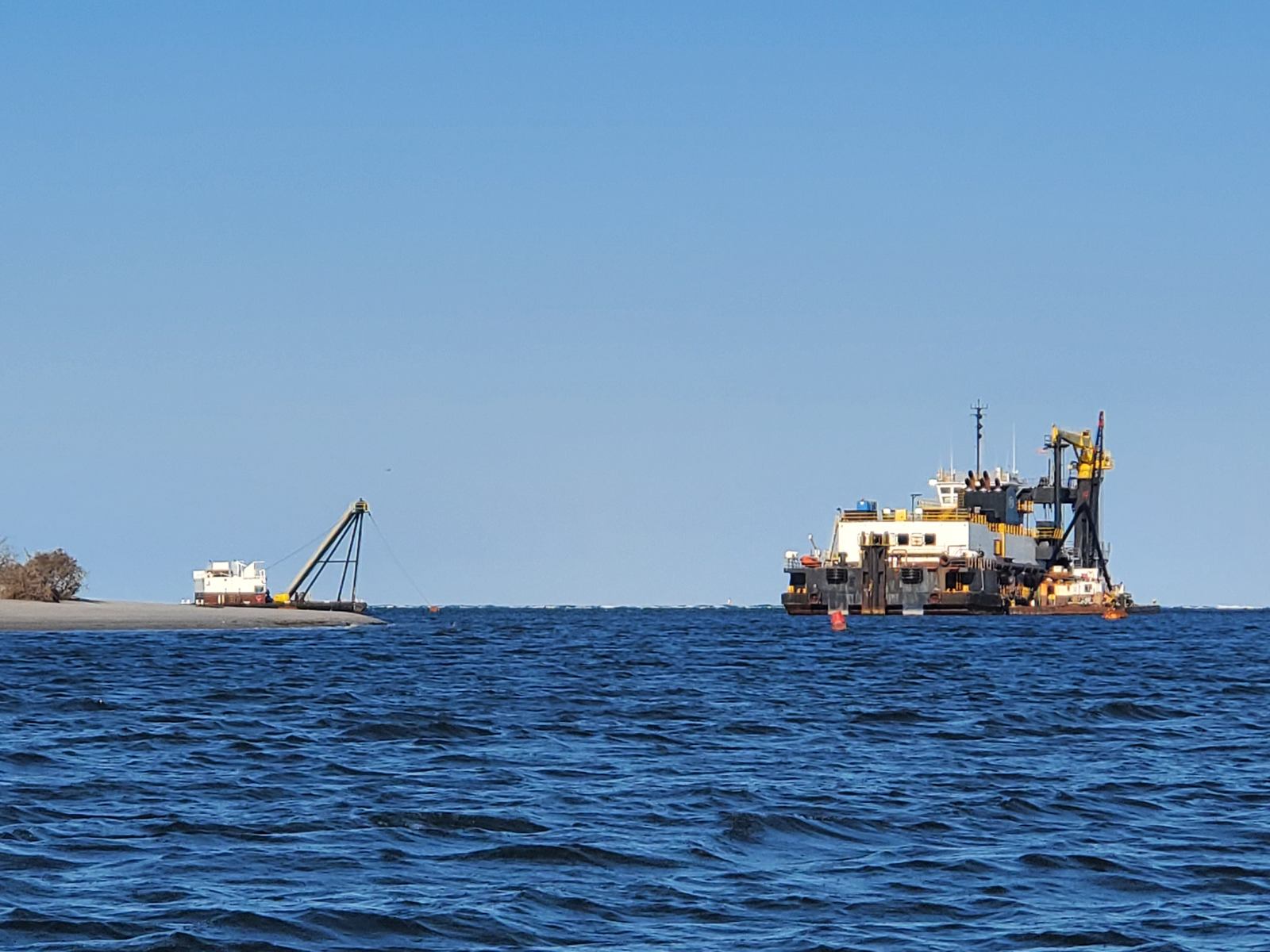
A dredge and a pipeline crane working the water off the south end of Masonboro Island, April 2026
Moving sand

An island made of moving parts

A barrier island is sand in motion. Storms wash it over the dunes, currents carry it along the beach, and the inlets at each end shift and fill. Masonboro has no seawalls or houses holding it in place, so it's free to move.

The inlets are also where people go for sand. The Army Corps of Engineers' 2025–26 Carolina Beach project pumped sand from Carolina Beach Inlet, at Masonboro's south end, onto Carolina Beach, and expected to repeat the work in about three years. Masonboro Inlet, at the north end, has been a sand source for Wrightsville Beach.

Both inlets sit inside Coastal Barrier Resources Act zones, which limit when federal money can pay to dredge them. That's been a running debate for years.
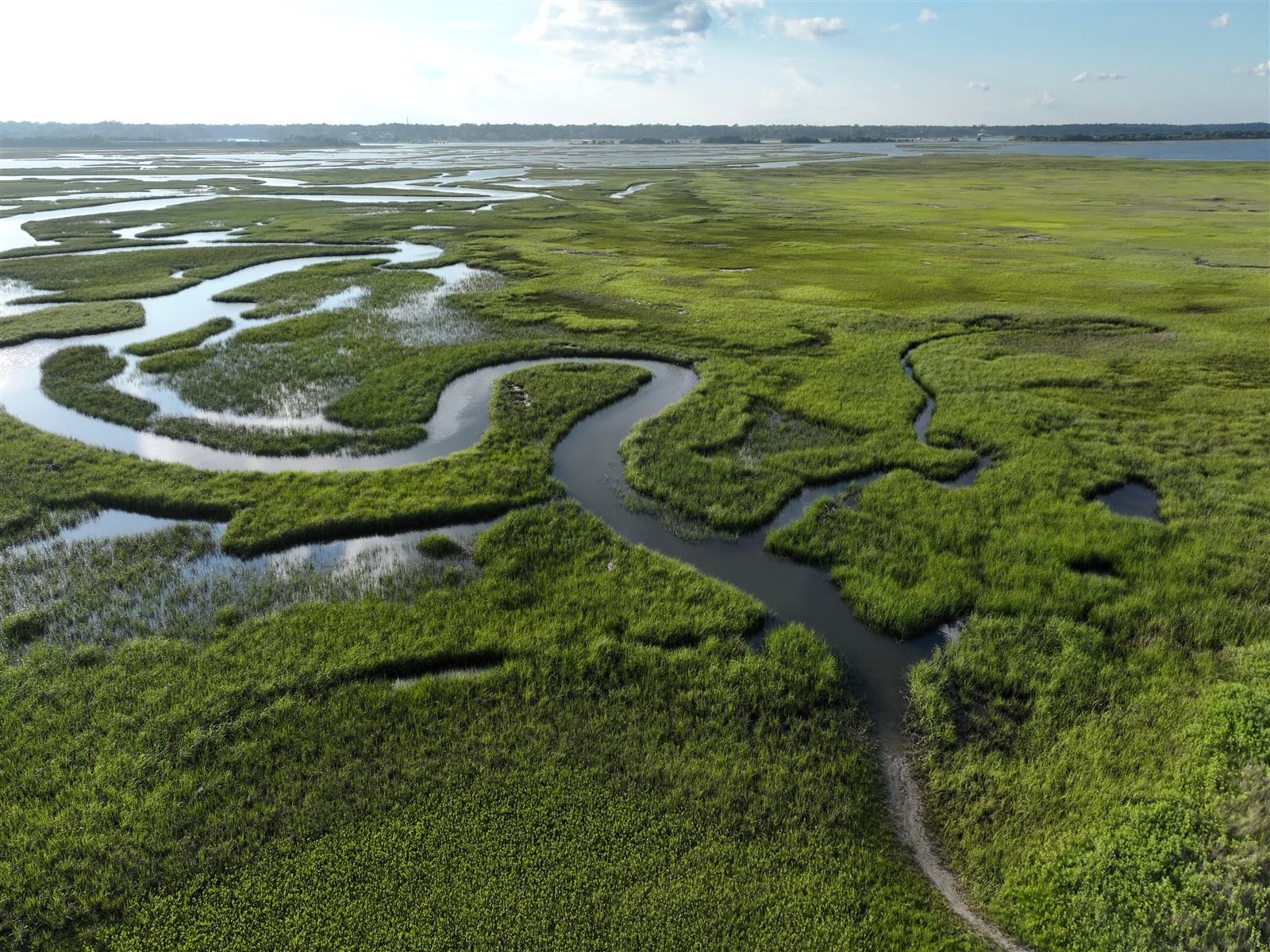
Aerial view of a tidal creek winding through the salt marsh behind Masonboro Island
A research reserve

Part of a national network

Masonboro has been part of the North Carolina Coastal Reserve and the National Estuarine Research Reserve System since 1991. Reserves around the country run the same long-term monitoring, called the System-Wide Monitoring Program, so changes on one coast can be compared with another.

That program tracks water quality, weather, water levels and wetlands, and maps habitat over time. At Masonboro, the reserve runs a weather station with real-time data, and its records are public through the reserve system's Centralized Data Management Office.

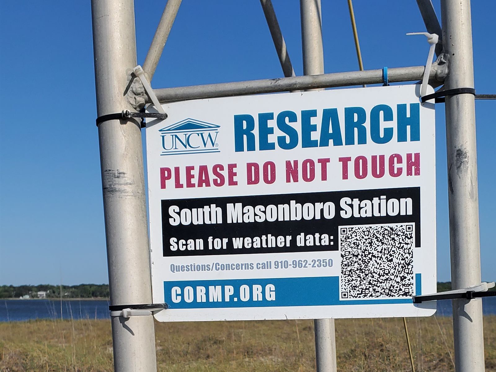
Sign on a weather tower reading UNCW Research, Please Do Not Touch, South Masonboro Station, Scan for weather data, cormp.org
On the dunes

The towers you'll walk past

Out on the dunes you may pass instrument towers like UNCW's South Masonboro Station, part of the university's Coastal Ocean Research and Monitoring Program. Its sign has a code you can scan for its live weather data.

Leave them be: don't touch, climb or tie up to research equipment, and stay off the dune vegetation around it. Years of data can hang on one bumped sensor.

Help out

Add to the record.

You don't need a lab to contribute. A phone and a little care will do.

Photograph a king tide

The North Carolina King Tides Project, based at UNC's Institute of Marine Sciences, collects photos of king tides and high water to show what higher seas look like on the ground. Include something for scale, like a piling, dock or ruler.

Use the dates above and send your photos through the free Coastal Observer app; the project site has the details. Stay out of floodwater and off posted nesting areas. No photo is worth it.

Log what you see

Photograph plants and animals with iNaturalist, or count birds with eBird. Scientists use both. Zoom from a distance, never approach nests, and keep exact locations of nesting birds and turtles to yourself.

Report a sea turtle in trouble

Stranded, injured or dead sea turtles go to the NC Sea Turtle Stranding Network at (252) 241-7367. Don't move it or push it back in the water.

Look at the live data

Tides and weather on our station conditions board, the reserve's weather and water records at the NERRS data office, and UNCW's stations at cormp.org.

King tide alerts

We'll tell you when the water's coming up.

Occasional emails before the big king tides, plus crossing windows, launch nights and the blacktip run. No spam.